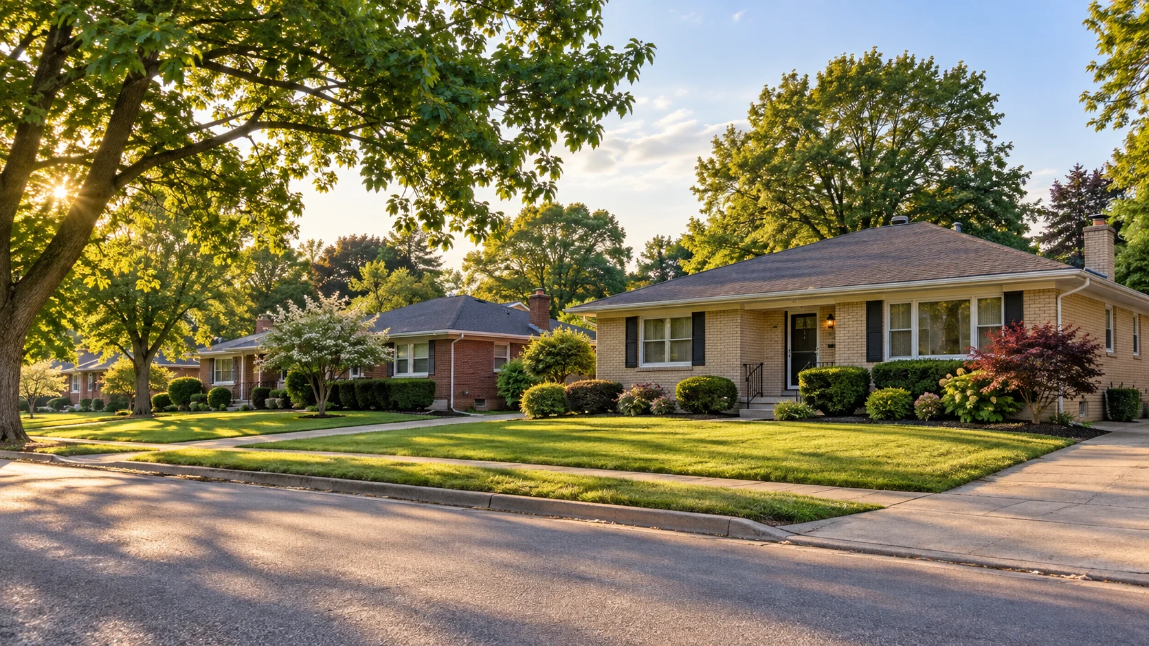
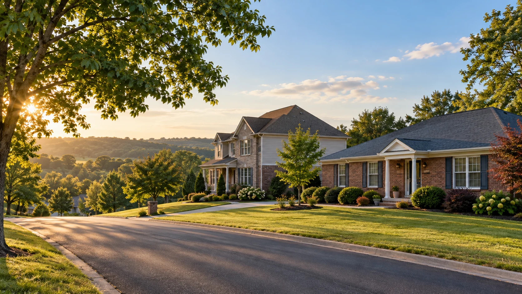
Different streets. Different ways to live. Explore housing, history and everyday details across greater Louisville, then follow the questions that matter to you.
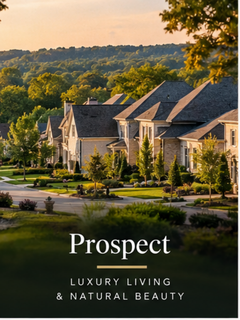
Prospect is a Louisville-area community shaped by rural beginnings, Harrods Creek and Ohio River geography, rail-era connections, and several generations of residential development. Its present-day identity combines established subdivisions, newer construction, and older landscapes that predate the modern city.
River landscape · Traditional & newer homes · US 42 corridor · Jefferson / Oldham
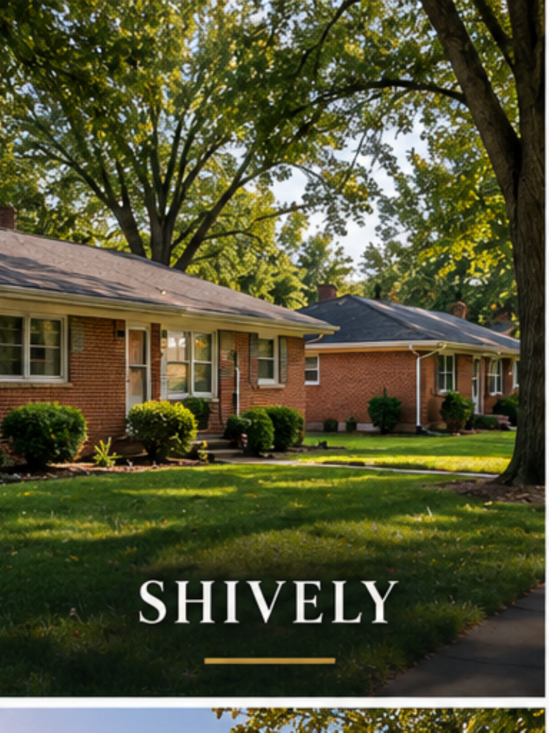
Shively grew from an early agricultural settlement into one of Louisville's best-known independent cities. Its story is tied to transportation, distilling, postwar residential growth, civil-rights history, and the everyday commercial corridors that continue to anchor southwest Louisville.
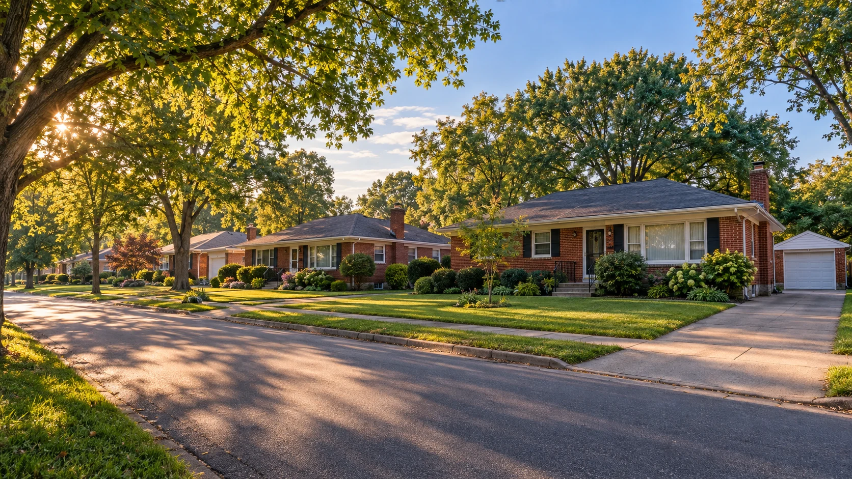
Ranch housing · Established lots · Dixie Highway · City within Jefferson
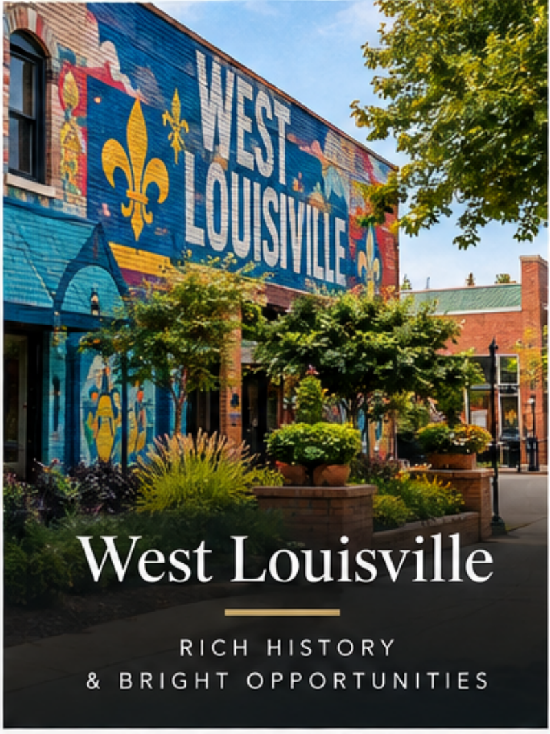
West Louisville is not one neighborhood but a collection of distinct communities including Russell, Shawnee, Chickasaw, Parkland, Portland, Park DuValle, California, and others. Together they contain some of Louisville's most significant Black history, architectural heritage, park systems, civic institutions, and redevelopment challenges.
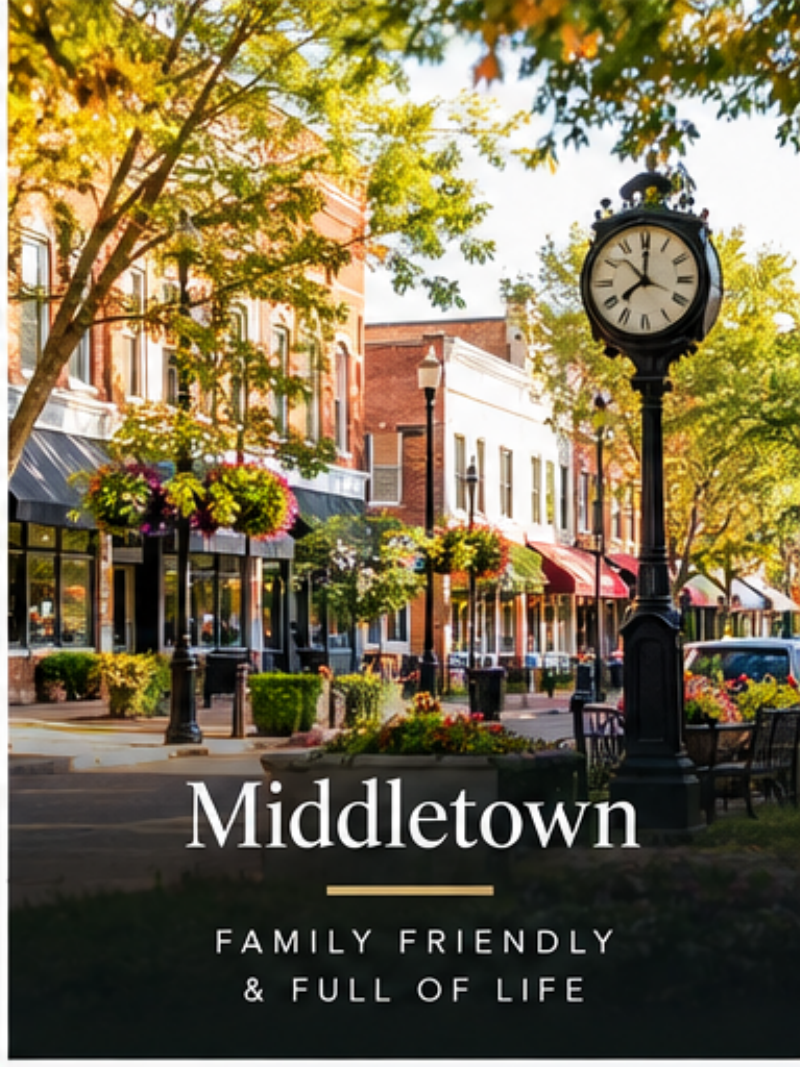
Middletown is one of Jefferson County's oldest communities, with roots in an early stopping point between Louisville and Shelbyville. Its present-day landscape layers historic buildings and old road alignments with several generations of suburban housing, retail, offices, apartments, and newer development farther east.
Historic town center · Mixed housing eras · Shelbyville Road · Eastern Jefferson
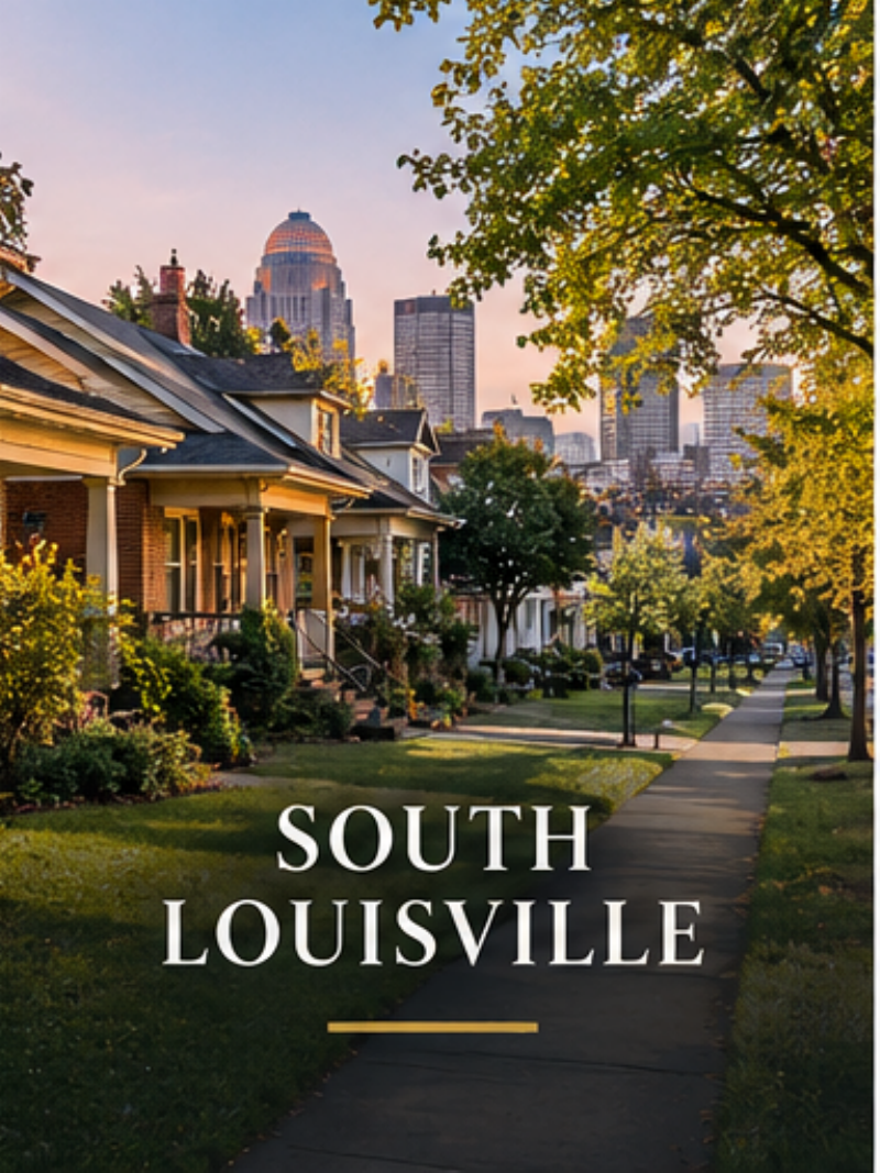
South Louisville is a broad part of the city rather than a single neighborhood. Beechmont, Southside, Wilder Park, Southland Park, Iroquois, and nearby communities developed in different eras, producing a varied landscape of streetcar-era homes, postwar subdivisions, industrial corridors, parks, immigrant-owned businesses, and major transportation routes.
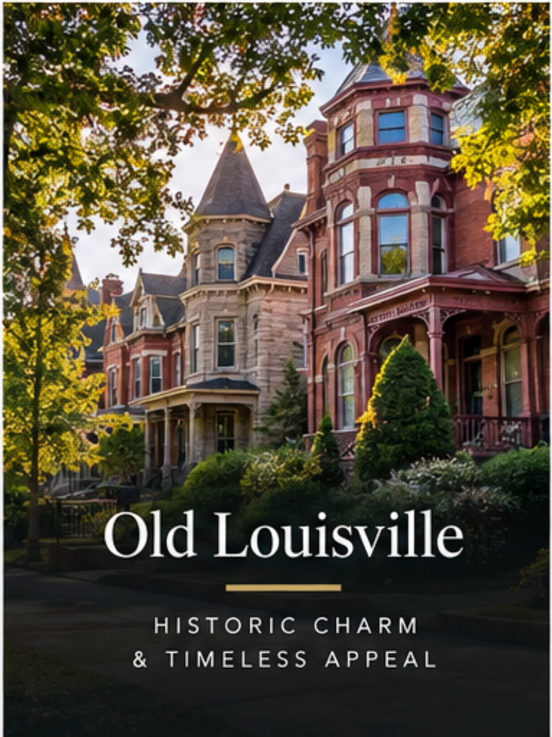
Old Louisville is one of the clearest physical records of the city's late-19th-century expansion beyond downtown. Its grand houses, townhomes, courtyards, churches, apartments, mature trees, and dense street grid create a residential environment unlike newer parts of Louisville.
Historic architecture · Central Park · Traditional street grid · Varied building uses
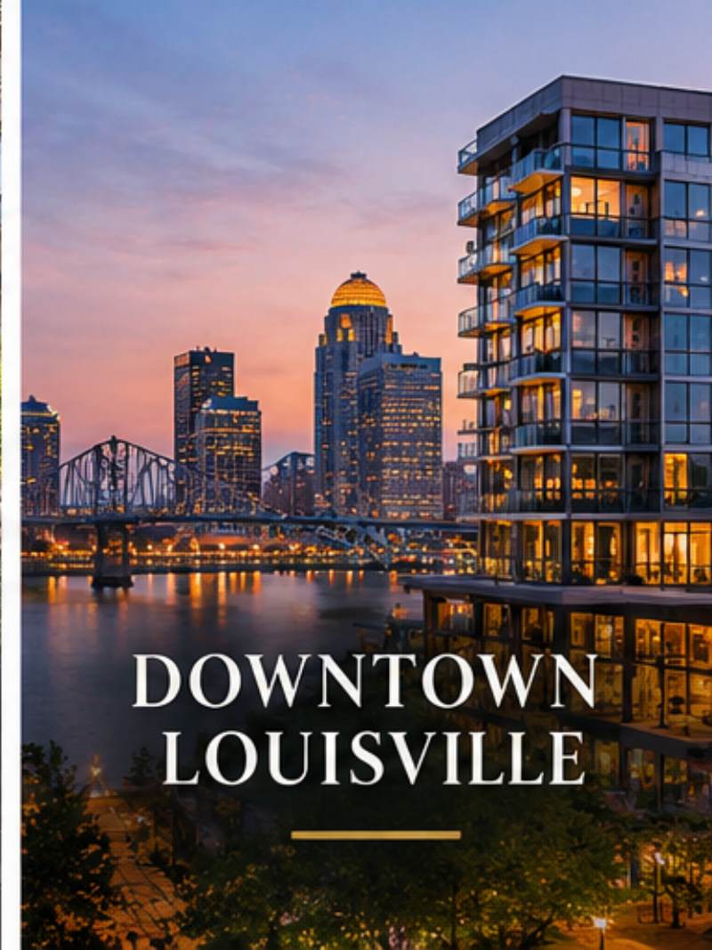
Downtown Louisville began as a river and commercial center shaped by the Falls of the Ohio. Over time it became the region's civic and business core, and it is now undergoing another transition as office buildings, warehouses, hotels, entertainment venues, historic structures, and new residential uses increasingly share the same urban landscape.
Condos & lofts · Riverfront recreation · Cultural destinations · Urban street grid
Pleasure Ridge Park, often called PRP, is a southwest Louisville area with established subdivisions and commercial activity along Dixie Highway. Residential streets extend beyond the corridor, with varied lots and layouts.
Valley Station occupies part of Louisville’s southwest, where subdivisions, commercial corridors and nearby river and wooded landscapes meet. The setting changes as you move away from Dixie Highway.
Fern Creek combines established residential areas with newer development along Louisville’s southeast. Bardstown Road is a major organizing route, but housing streets offer different eras and settings.
Established & newer homes · Bardstown Road · Southeast location · Neighborhood parks
Jeffersontown brings a historic town center together with neighborhoods, municipal parks and business areas. J-Town is both a local identity and a distinct incorporated city within Jefferson County.
Historic town center · Municipal parks · Mixed housing eras · Business connections
Okolona is a southern Louisville area organized around residential neighborhoods and commercial corridors including Preston Highway. Established streets and later subdivisions offer different layouts and lot patterns.
Ranches & detached homes · Preston Highway · Southern Louisville · Established neighborhoods
Mount Washington is a Bullitt County city southeast of Louisville. Its older center and expanding residential areas provide a distinct regional destination, with services and jurisdiction that differ from Jefferson County.
Bullitt County · Established & newer homes · Municipal recreation · US 31E / KY 44